Walking Tracks
Five walks through wetlands, woodland and creek corridors — from easy strolls to moderate bush tracks. Coming soon: guided 🎧 Walk Lightly, Embrace Nature audio experience, inviting visitors to slow down and connect with nature.
Choose your walk
Five self-guided trails. Coming soon: 🎧 Walk Lightly, Embrace Nature audio guide.
Wetlands Walk 🎧 Audio
Perfect for families and first-time visitors — flat, pram-friendly, and rich with birdlife.
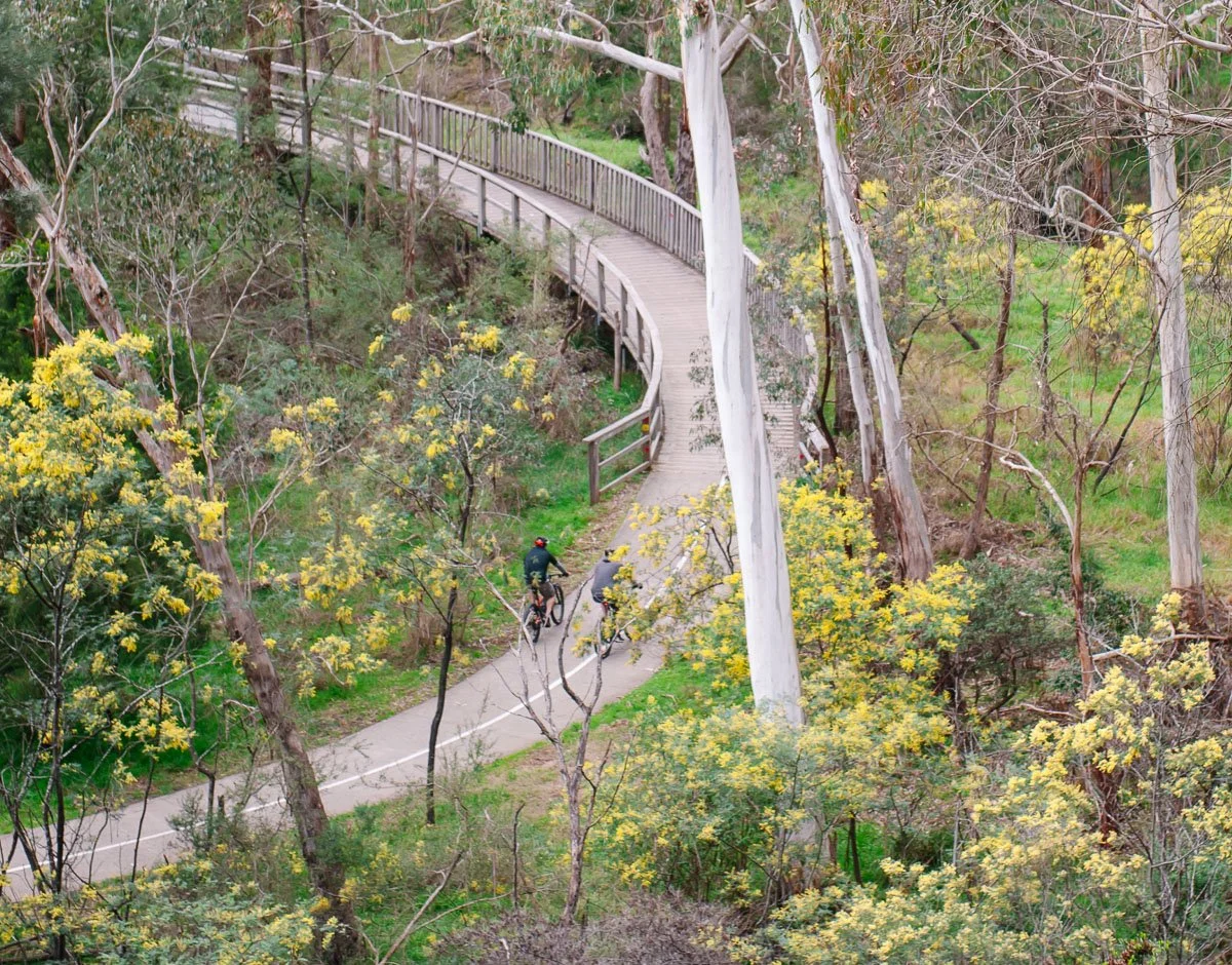
Cascade–Woodland Walk 🎧 Audio
A scenic loop through woodland, winding gently up to the cascade.
Creek Circuit Walk 🎧 Audio
Follows Mullum Mullum Creek — ideal for wildlife spotting, with chances of platypus at dusk.
Spring Wildflower Walk 🎧 Audio
Best visited September to November when orchids and native wildflowers are in full bloom.
Schwerkolt–Creekside Walk 🎧 Audio
The reserve's longest trail — a deeper bushland walk with creekside sections and a more immersive feel.
Explore longer routes beyond Yarran Dheran
Take a variety of shared-user paths from Yarran Dheran to enjoy longer walks, runs or bike rides through the surrounding bushland. The notes below are general in nature and intended as an introduction only — plan your trip using more detailed maps.
Northern route via Mullum Mullum Trail
From the Eastlink Trail, take the Mullum Mullum Trail just past Quarry Road heading north to join the Main Yarra Trail at Templestowe. Continue along the Main Yarra Trail, passing Petty's Orchard and travelling through Westerfolds Park, Banyule Flats, Heidelberg and beyond. Alternatively, cross the Yarra River via the Mullum Mullum Trail to continue on to Eltham, Diamond Creek and Hurstbridge.
Koonung Trail connection
Using the Eastlink Trail and travelling north, join the Koonung Trail and continue on to Yarra Bend Park and beyond.
Southern route via Mullum Mullum Trail
Travelling south along the Eastlink Trail, continue past Schwerkolt Cottage and follow the Mullum Mullum Trail. This route takes you past Eastland to Croydon, where you will reach the stormwater drain that marks the beginning of Mullum Mullum Creek.
Dandenong Creek Trail connection
Alternatively, follow the Eastlink Trail to connect with the Dandenong Creek Trail in Vermont and continue on to Dandenong or Carrum Downs.
Plan Your Visit
Practical details for your visit to Yarran Dheran.
The Information Centre is usually open Sundays, 2:00–4:00pm, subject to volunteer availability and fire conditions.
Getting There
Main entrance on Ashburton Drive, Mitcham. Parking nearby, public transport within walking distance. Get directions ›
Facilities
Toilets, drinking water, picnic tables and lawn areas near the Information Centre.
Walking Access
Tracks connect from the Information Centre to Mullum Mullum Creek and the wider reserve walk network.
Good For
Families, casual walkers, school groups and anyone after a quiet bushland visit close to suburbia.
Report Vandalism or Rubbish
Report vandalism or illegal dumping via the Snap, Send, Solve app.
Injured Wildlife
Contact a Wildlife Rescue organisation — details on our FAQ page.