The Reserve
Once home to the Wurundjeri people and later used for farming, timber, quarrying, and even as a municipal tip, the reserve has transformed into an urban bushland reserve, rich with flora, fauna, and cultural history.
Today, the Advisory Committee of dedicated volunteers continues this legacy — protecting the reserve's ecological values, running environmental activities and events for the community, and inviting everyone to connect with the beauty and history of this unique landscape.
History of Yarran Dheran
The Mullum Mullum Creek valley, including the area now known as Yarran Dheran, lies on Wurundjeri Country and would have been used and occupied by Wurundjeri people long before European settlement. Until the early twenty-first century there was no documented physical evidence of this use in the immediate Yarran Dheran area, but during construction of the Deep Creek Road bridge over Mullum Mullum Creek in 2001 a greenstone Aboriginal axehead was uncovered.
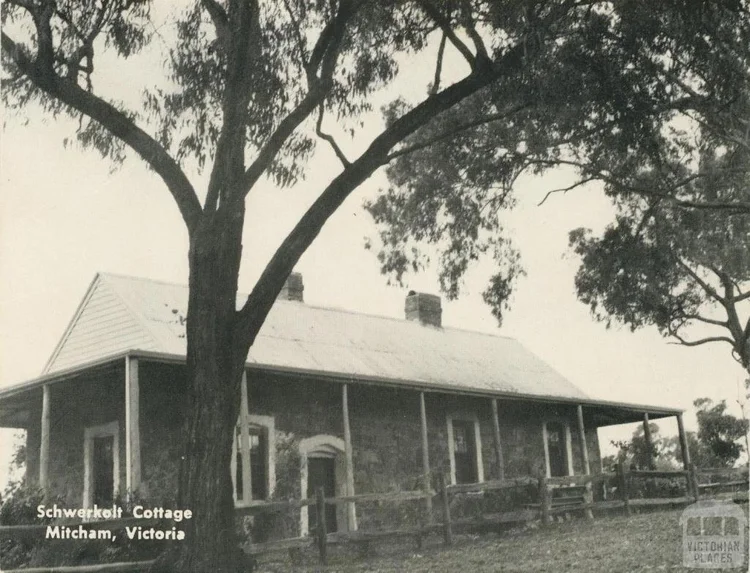
Schwerkolt Cottage, built by Johann August Schwerkolt using stone quarried from the creek banks
From the first freehold land sales in the Nunawading district in the 1850s, most early European activity along the creek focused on cutting timber and producing charcoal for Melbourne. In 1861, German migrant Johann August Schwerkolt purchased a substantial holding on Deep Creek (now Mullum Mullum Creek), land that intersects with the modern-day Yarran Dheran Reserve, the Schwerkolt Cottage Precinct and Antonio Park. He quarried stone from the creek banks to build his first stone house and later the surviving Schwerkolt Cottage, while the Antonio family subsequently farmed part of this land for flowers and vegetables for the Melbourne markets, giving their name to Antonio Park.

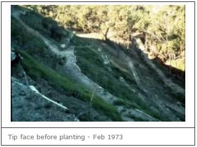
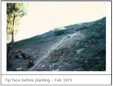
City of Nunawading Municipal Tip, 1963 — the site that would become Yarran Dheran Nature Reserve
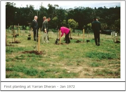
According to the Whitehorse Historical Society records, commercial quarrying of stone within what is now Yarran Dheran appears to have begun in the 1960s and continued into the mid-twentieth century, ceasing in about 1955. The site then entered a very different phase as the Mitcham Municipal Tip, which operated there until its closure in 1963, after which Nunawading Council moved to rehabilitate the former tip and surrounding land as a bushland reserve with strong community involvement through 1970–1994.
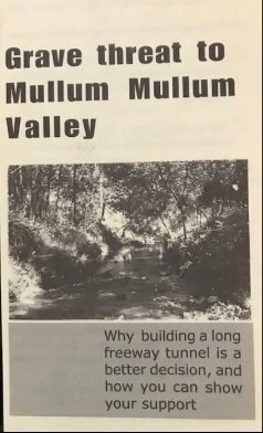
Community pamphlet, c. 1998 — “Grave threat to Mullum Mullum Valley”
In 1969 the Mullum Mullum Creek corridor was first set aside as a freeway reservation, a planning decision that unintentionally shielded much of the valley from intensive urban development during decades of dispute over the proposed road and, later, the EastLink project. When the precise freeway alignment was finally fixed, sustained community campaigning resulted in a political commitment by the Victorian Government to construct twin tunnels on EastLink beneath the Mullum Mullum Valley, between Park Road, Donvale and Deep Creek Road, Ringwood, in an effort to maintain the environmental and landscape values of the creek corridor.
Download a detailed history ›The bushland of the Mullum Mullum Valley, with the EastLink Tunnels beneath it, continues to be recognised environmentally as forming part of a significant wildlife corridor along the Mullum Mullum Creek, downstream to Templestowe and the Yarra River.
The creek is one of the few urban creeks which has not been barrelled or channelled and so provides a wildlife corridor leading to the confluence of the creek with the Yarra River at Templestowe. The creek, the ponds, and the bushland in the valley provide habitat for a wide range of wildlife, some of which is unique within Whitehorse.
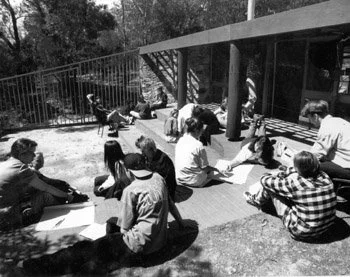
Yarran Dheran is enjoyed by the community for its bushland. Its environmental values form the basis of a range of environmental activities and programs led by Whitehorse, the Yarran Dheran Advisory Committee, and the community.
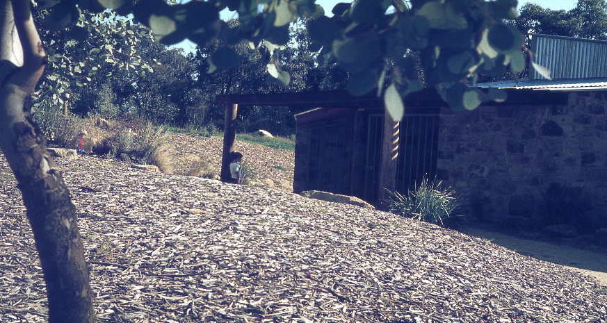
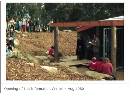
Information Centre - 1980
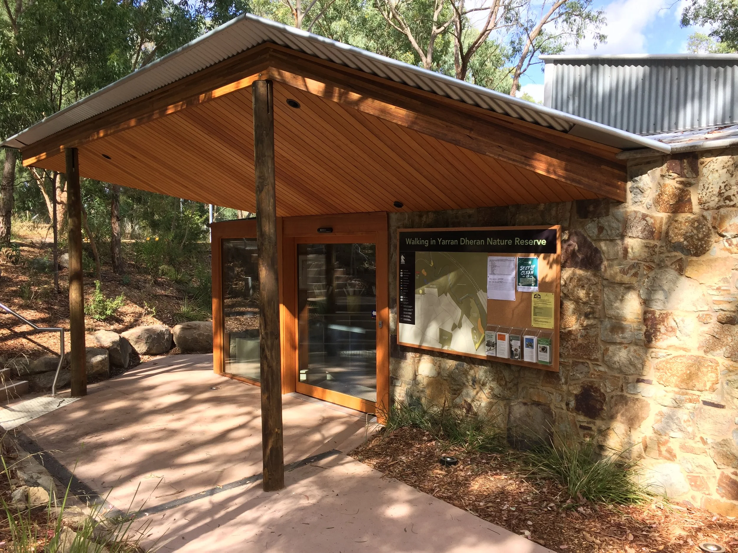
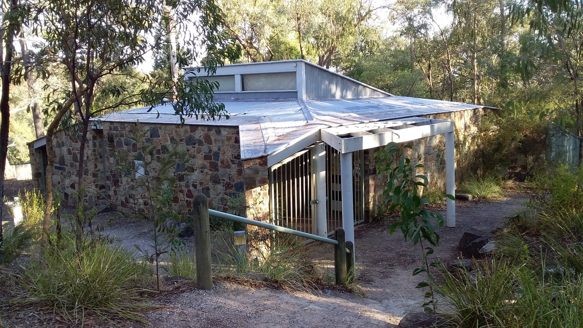
Information Centre - 2025
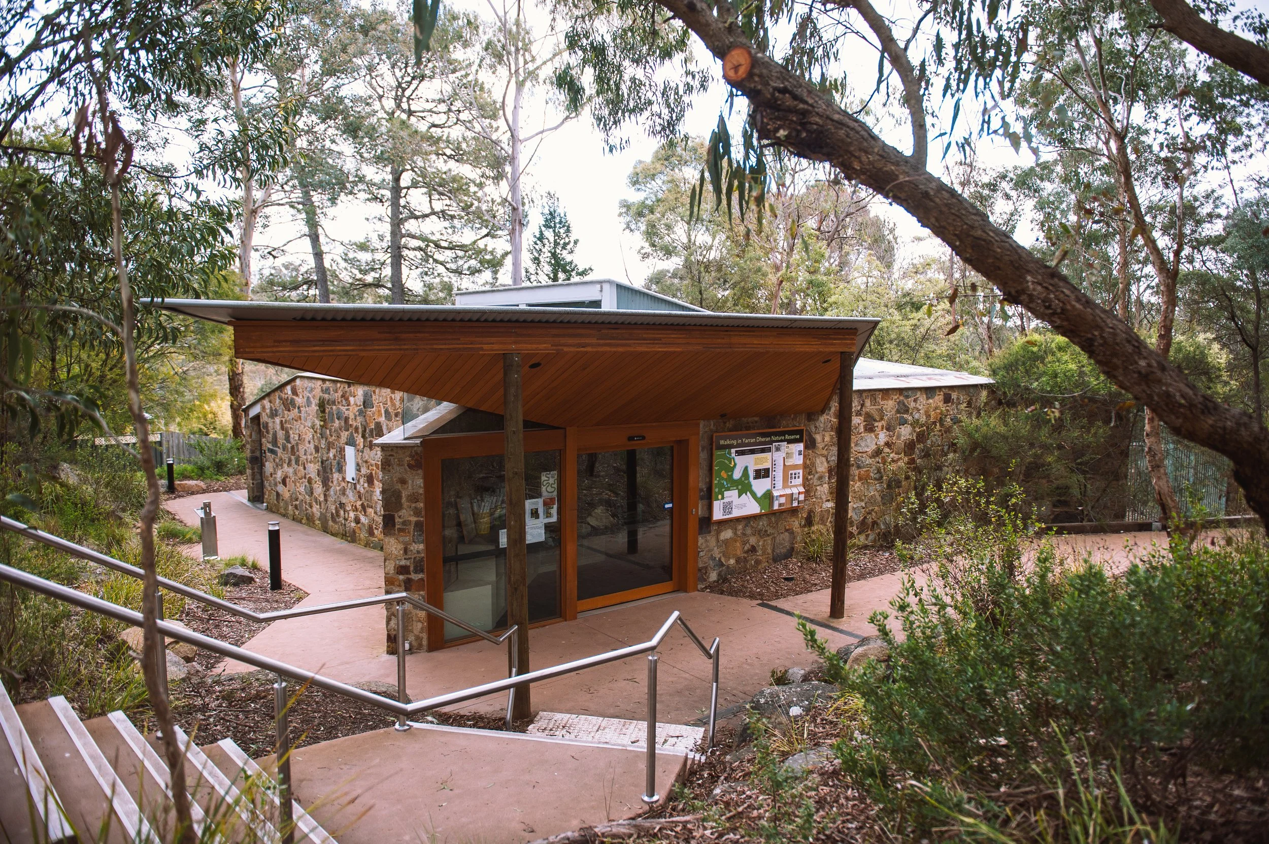
Information Centre - 2025